3D Site Plan Rendering services
- Home
- Our Services
- 3D Site Plan Rendering services
- 1) .3D Exterior Renidering Services
- 2). 3D Site Plan Rendering services
- 3). 3D interior rendering services
- 03. Custom Solutions
- 04. Furniture & Decor
- 4).Commercial Architectural Rendering Services
- 5).3D Residential Rendering Services
- 06.. Author`s Control
- 6).3D Walkthrough Services
- 7).3D Floor Plan Rendering Services
- 8).3D Product rendering services
What exactly is a 3D site plan rendering services ?
when the object is depicted from a great height at a 90-degree angle, almost perpendicular to the main facility. This type of visualization is used to demonstrate infrastructure, roads, and movement, as well as how objects are linked and the scale of buildings about one another. In other words,
such a view demonstrates how the object interacts with its surroundings, how it is arranged within it, and what elements and constructions will be nearby. Furthermore,
3d Site plan rendering services concentrate on the surrounding roadways. To understand the true proportions of the building and the landscape design, it is necessary to show how the roads lead to a residential complex,
how the green zones interweave with the surroundings. Such grand plans are also used to display the number of objects and to convey where each structure will be located in a non-schematic form, in other words, it is a map.
As you may have guessed, the 3D site plan render is similar to an aerial view. Nonetheless, there are several significant differences:
- The camera is pointed clearly downward, with no use of standard perspective or depth of field.
- less emphasis on presentation and decoration, more emphasis on detail clarity
- The camera height is adjusted according to the scale, and the site plan is consistently positioned farther than the aerial view.
- This deliberate distance is maintained to directly capture and showcase the interaction of the object with its environment. While the bird’s-eye view also enables this perspective, the site plan adds a slightly more voluminous dimension to the representation
Offer 3D site plan rendering services
Architectural visualization studios that specialize primarily in exterior angles provide site plan 3D rendering services. For example,
if we talk about floor plans, we’re talking about floor plan rendering. As a result, in the case of site plan rendering, we only mean exteriors.
3D site plan rendering companies vary in their attributes, and it’s important to assess factors such as their portfolios, experience in handling similar projects, and their workflows when making a selection.
Regardless of the size or complexity of the project, a maximum of two site plan rendering views can be included. The elevated camera position allows for the capture of large scenes,
even rendering entire cities. We’ve successfully rendered small cities at 20k pixels in our experience providing site plan 3D rendering services, allowing for detailed crops, zooming, camera spans, and other visual enhancements.
3D site plan rendering company workflow
3D site plan rendering services follow a standard workflow, which you can learn about in this article. However, two critical points must be addressed ahead of time. Before we begin working, please notify our project manager of the following:
- the area that this image will cover
- What the environment will look like.
The second point is especially important when developing an entire district. Photo integration, a type of 3D rendering service for site plans, entails using drones to capture the area from an aerial perspective and then integrating the visualized object into the captured imagery.
Another method is massing or white box rendering, which involves strategically placing translucent boxes to depict the scale of objects nearby. The final option entails creating an environment that accurately represents. the actual surroundings of future development, One can extract data from Google Maps.
Factors such as the availability of an existing environment determine the appropriate method. When the surroundings are well-documented, for example, using Google Maps may be appropriate. A comprehensive 3D rendering approach is used when the environment is not readily available,
when the buildings are new or have undergone significant changes. This entails creating the entire environment in 3D to achieve the most photorealistic representation that aligns seamlessly with the specifics of each meter on the site.
Our company always considers our clients’ concerns about the number of iterations to provide a comfortable workflow for them from the start.
Site plan 3D rendering services in Render Visualization Studio
The method used to construct the environment determines the cost of 3D plan rendering services: full 3D, massing, or photo integration. Furthermore,
The number of objects to be captured affects the price. to be captured Aside from these primary factors, atmosphere, deadlines, the number of revisions, and other project-specific details, all play a role in determining the overall cost.
Please get in touch with our manager, leave a request on our website, or email us:
at info@rendervisualizationstudio.com for more detailed information on the conditions and processes for site plan 3D rendering.
OUR SERVICES
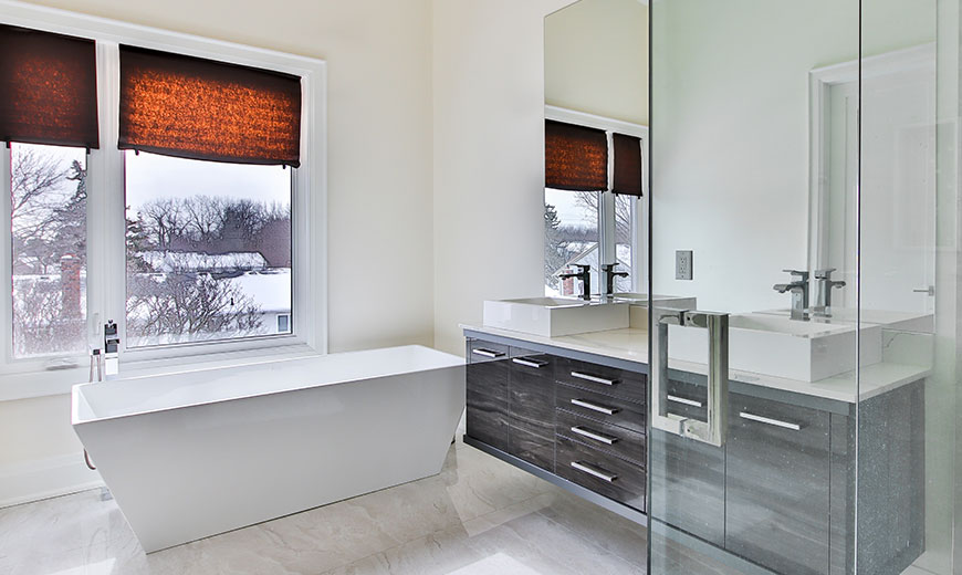
3D INTERIOR VISUALIZATION
Interior visualization is an art that helps interior designers communicate with clients and the community in the language of the project.
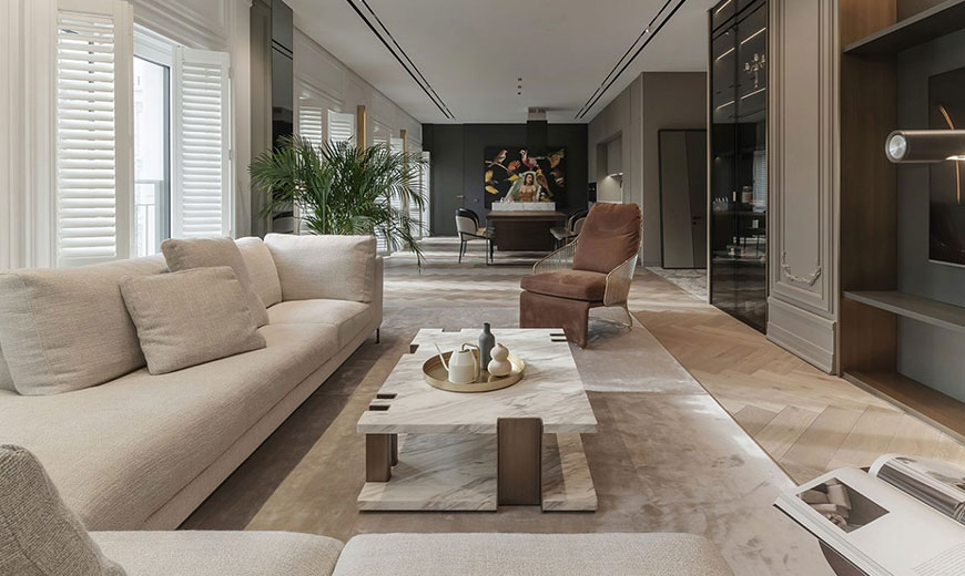
3D Walkthrough
Render visualization studio's commercial architectural rendering services range from office and retail buildings to shopping malls and much more.
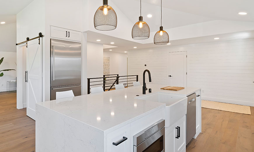
Commercial Architectural 3D Rendering Services
Render visualization studio’s commercial architectural rendering services range from office and retail buildings to shopping malls and much more. Whatever project you’re working on,

Residential 3D Rendering Services
Residential 3D rendering services entail using 3D computer graphics to create highly realistic and detailed visualizations of architectural designs and spaces for residential properties. Architects.
